Drone platform, API & SDK integration
Scope integration with supported manufacturer APIs and SDKs. Connect aircraft status, mission information, captured media, and operational events with your software environment.
Bring aerial systems into your enterprise technology environment. Our drone integration offering focuses on connecting aircraft platforms, sensors, operational software, and business data into useful, secure workflows.
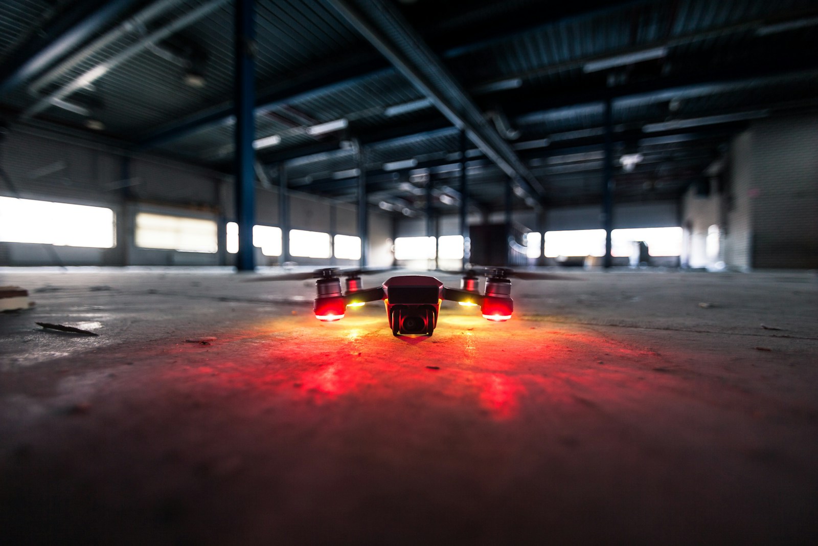
Define the scope around your existing systems, priorities, and operating requirements.
Scope integration with supported manufacturer APIs and SDKs. Connect aircraft status, mission information, captured media, and operational events with your software environment.
Develop planning interfaces, fleet dashboards, user permissions, and asset records. Connect mission history, equipment status, maintenance records, and reporting across locations.
Plan connectivity for compatible visual, thermal, LiDAR, and multispectral payloads. Design data ingestion and edge-processing workflows around supported hardware interfaces.
Connect aerial outputs to photogrammetry, GIS, CAD, and BIM workflows. Support orthomosaic, point-cloud, and 3D-model pipelines with appropriate processing tools and quality checks.
Integrate visual and thermal inspection data with asset-management systems. Scope AI-assisted defect detection, change tracking, annotation, and human validation.
Evaluate supported docking systems, scheduled capture, remote monitoring, and alert-driven workflows. Advanced flight operations are scoped to platform capabilities, authorized operators, and applicable approvals.
Bring live feeds and telemetry into authorized operational dashboards. Define access controls, event notifications, retention policies, and connectivity requirements.
Support architecture planning, system selection, configuration, documentation, and technical handover. Define software support and maintenance around the selected platform and deployment scope.
Example engagement scenarios, shaped to the needs of your organization.
Deliverables, responsibilities, acceptance criteria, and support are agreed during project scoping.
We first confirm the aircraft, controller, payload, and software interfaces available for your platform. Integration scope depends on manufacturer API or SDK support, hardware compatibility, and access to the required systems.
We can scope pipelines for supported imagery, telemetry, inspection findings, and processed aerial outputs. Data formats, coordinate systems, asset identifiers, access controls, and processing tools are agreed during design.
These workflows can be integrated where the selected payloads and processing tools support them. Capture requirements, data accuracy, calibration, and specialist validation are defined for the intended application.
The offering focuses on software, hardware interfaces, and aerial-data integration. Pilot services, specialist surveying, remote flight, and advanced autonomous operations require separate scoping with qualified operators and applicable approvals.
Tell us about your technology priorities.
Let's find a practical way forward.
360 Florence Ave, Suite 103
Hillside, New Jersey 07205
Send an inquiry or request a call with Qyron Tech.
Having trouble viewing the form? Open our contact form or email info@qyrontech.com.